
Bhutan Regional Field Notes
Seven Valleys Across Western, Central & Southern Bhutan
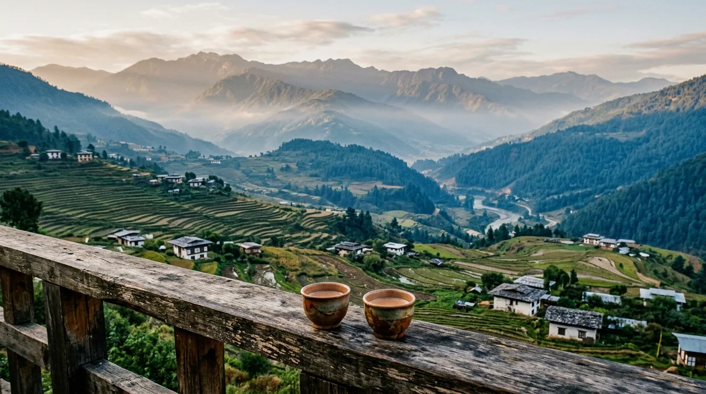
Altitudes shape every day in Bhutan: you sleep at 2,900 metres in frosty Phobjikha one night and drop to 1,250 metres among Punakha pomelo trees the next afternoon.
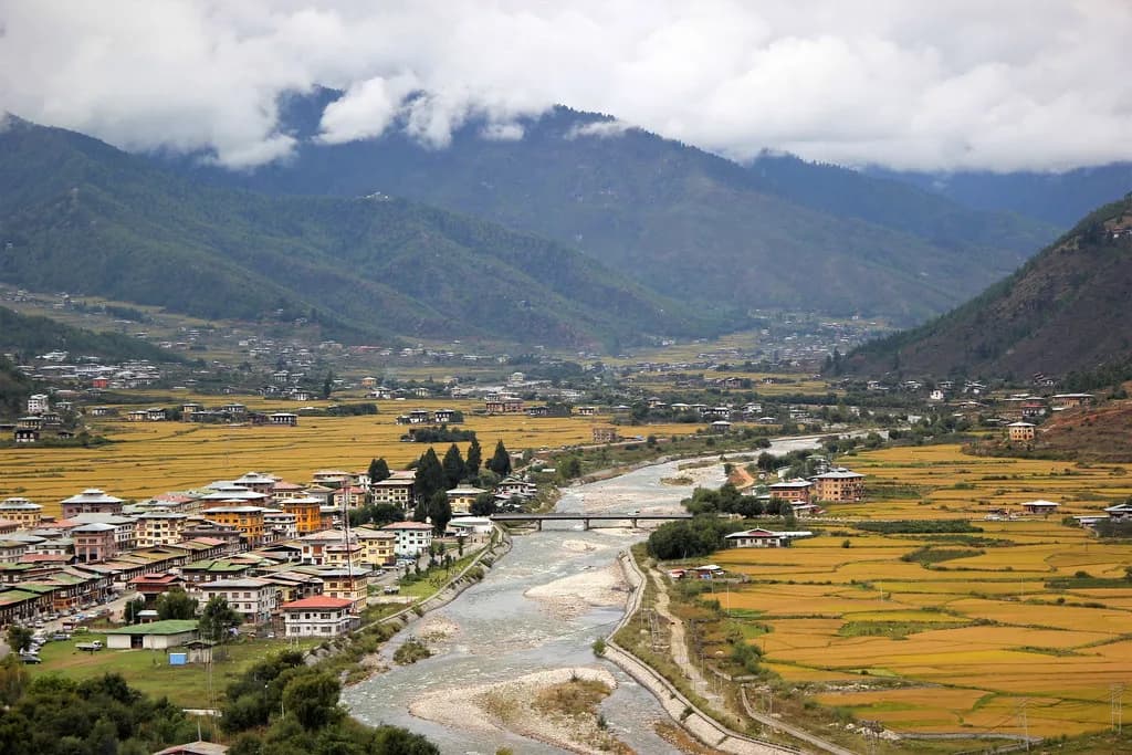
Paro Dzongkhag · 2,250 m
Paro Valley
Broad terraced rice fields, seventh-century Kyichu Lhakhang, and the pine climb up to cliffside Paro Taktsang.
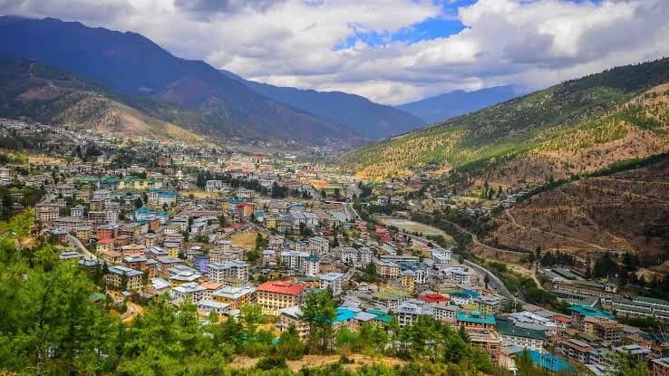
Thimphu Dzongkhag · 2,320 m
Thimphu Valley
A mountain capital without traffic lights where elders circle Memorial Chorten and oak trails climb to Cheri Goemba.
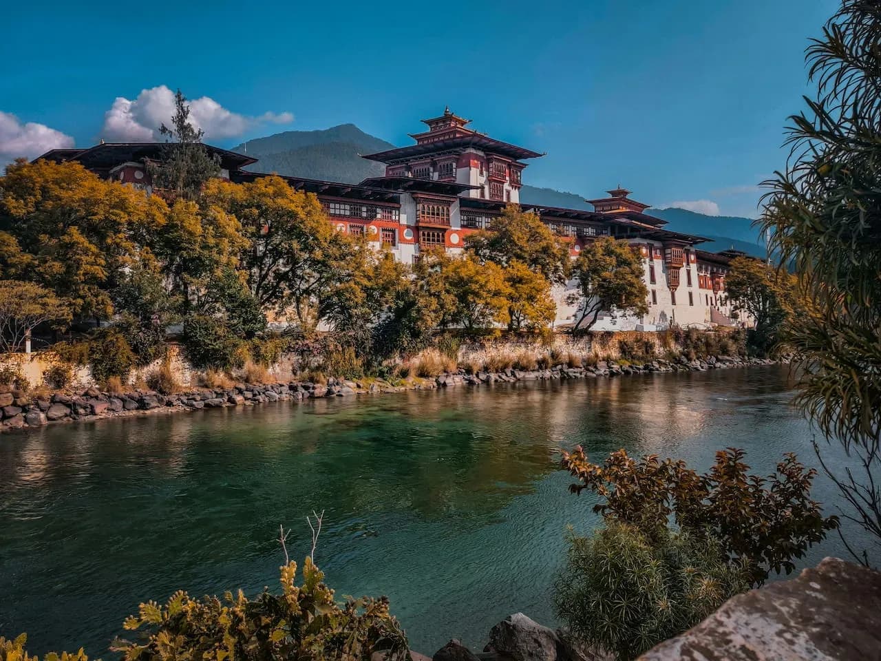
Punakha Dzongkhag · 1,250 m
Punakha & Lobesa
Subtropical valley of poinsettias, suspension bridges, and Punakha Dzong standing where two glacial rivers meet.

Wangdue Phodrang · 2,900 m
Phobjikha & Gangtey
Wide U-shaped glacial marshland below Gangtey Monastery where black-necked cranes spend every winter.
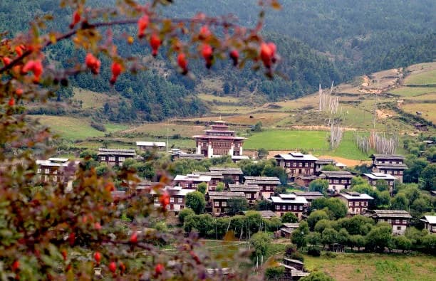
Bumthang Dzongkhag · 2,580 m
Bumthang Valleys
Four interconnected central valleys of buckwheat fields, seventh-century Jambay Lhakhang, and Tang family manors.
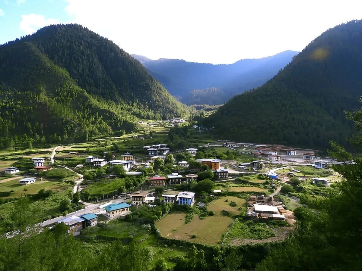
Haa Dzongkhag · 2,670 m
Haa Valley
Quiet western border valley reached across high prayer-flag ridges at Chele La, famous for hoentay dumplings.
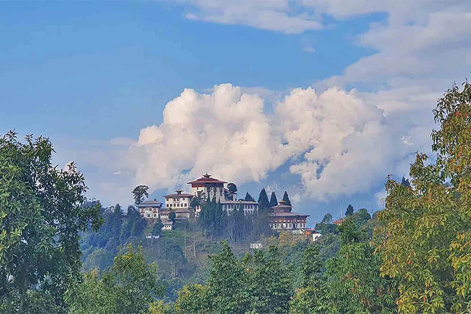
Zhemgang & Chukha Foothills · 300 m
Zhemgang & Royal Manas Foothills
Southern border gateway linking Bagdogra and Dooars plains with misty Himalayan cloud forests and western valleys.